Land Surveying
Bradley A. Thomas, PLS is a California Licensed Land Surveyor in responsible charge of the firms land surveying operations. Brad can be reached by phoning (707) 433-6792 x109 or via Email bathomas@doblethomas.com
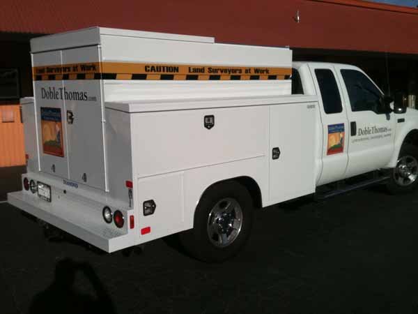
DobleThomas is a full service, licensed and insured land surveying firm. Our surveyors have over one hundred years of combined experience and expertise in nearly all survey categories. Following is a list of our more typical services.
 ALTA/ACSM Surveys: An ALTA land survey has especially stringent requirements as developed by a joint effort of the American Land Title Association and the American Congress on Surveying and Mapping. The ALTA standards are a nationwide uniform set of standards. Sometimes referred to as "the Cadillac of surveys." The survey is specifically designed to satisfy the needs of lenders, corporations and title companies when dealing with valuable commercial properties. An ALTA land survey incorporates elements of the boundary survey, mortgage survey, and topographic survey.
- Archaeological surveys: used to accurately assess the relationship of archaeological sites in a landscape or to accurately record finds on an archaeological site.
- As-built surveys: a survey carried out during or immediately after a construction project for record, completion evaluation and payment purposes. An as-built survey also known as a 'works as executed survey' documents the location of the recently constructed elements that are subject to completion evaluation. As built surveys are typically presented in red or redline and overlayed over existing design plans for direct comparison with design information.
- Bathymetric surveys: a survey carried out to map the topography and features of the bed of an ocean, lake, river or other body of water.
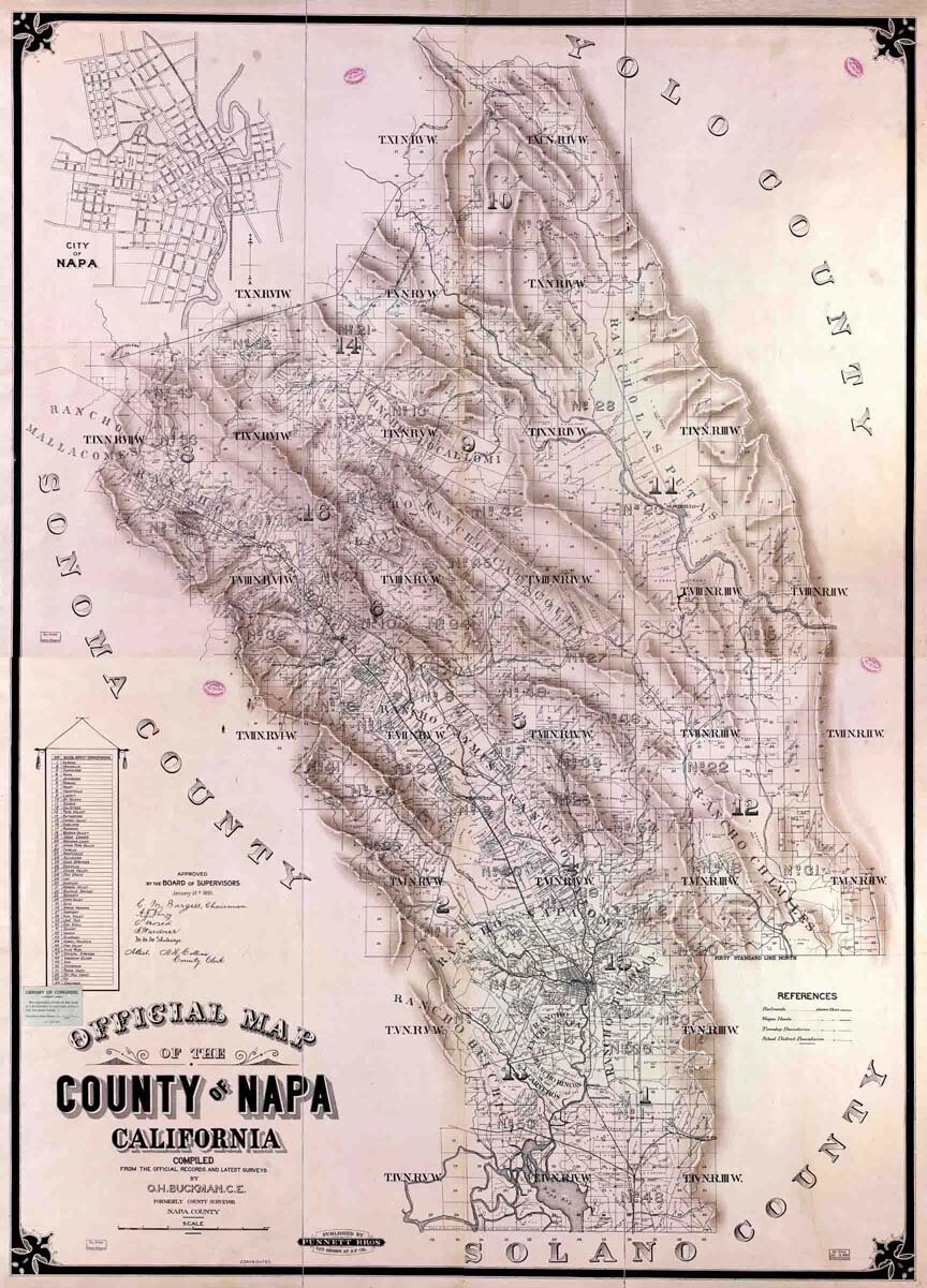
- Boundary surveys: a survey that establishes boundaries of a parcel using its legal description, which typically involves the setting or restoration of monuments or markers at the corners or along the lines of the parcel, often in the form of iron rods, pipes, or concrete monuments in the ground, or nails set in concrete or asphalt.
- Condominium Plan surveys: A condominium is a collection of individual home units along with the land upon which they sit. Individual home ownership within a condominium is construed as ownership of only the air space confining the boundaries of the home. The boundaries of that space are specified by a legal document known as a Declaration depicted on documents including a set of detailed drawings (Condominium Plan) and filed for record with the local governing authority. Typically these boundaries will include the drywall surrounding a room, allowing the homeowner to make some interior modifications without impacting the common area. Anything outside this boundary is held in an undivided ownership interest by a corporation established at the time of the condominium’s creation. The corporation holds this property in trust on behalf of the homeowners as a group, it may not have ownership itself.
- Deformation surveys: a survey to determine if a structure or object is changing shape or moving. The three-dimensional positions of specific points on an object are determined, a period of time is allowed to pass, these positions are then re-measured and calculated, and a comparison between the two sets of positions is made.
- Elevation Cerificate surveys:
We are a Certified FEMA eLOMA Registered Surveyor
eLOMA - This time saving, user friendly FEMA web-based application provides DobleThomas with a system to submit simple Letter of Map Amendment (LOMA) requests directly to FEMA. This tool is designed to make a determination based on the information submitted by DobleThomas and allows them to generate a determination from FEMA in minutes. Some determinations are subject to audit that require several days, however.
The Elevation Certificate is an important administrative tool of the National Flood Insurance Program. It is used to provide elevation information necessary to ensure compliance with community floodplain management ordinances, to determine the proper insurance premium rate, and to support a request for a Letter of Map Amendment (LOMA) or Letter of Map Revision based on fill (LOMR-F). The Elevation Certificate is required in order to properly rate post-FIRM buildings.
- Engineering surveys: those surveys associated with the engineering design (topographic, layout and as-built) often requiring geodetic computations beyond normal civil engineering practise.
- Foundation surveys: a survey done to collect the positional data on a foundation that has been poured and is cured. This is done to ensure that the foundation was constructed in the location, and at the elevation, authorized in the plot plan, site plan, or subdivision plan.
- Geological surveys: generic term for a survey conducted for the purpose of recording the geologically significant features of the area under investigation. .
- Hydrographic surveys: a survey conducted with the purpose of mapping the coastline and seabed for navigation, engineering, or resource management purposes.
- Measured surveys: a building survey to produce plans of the building. such a survey may be conducted before renovation works, for commercial purpose, or at end of the construction process "as built survey"
- Mortgage survey or physical surveys: a simple survey that delineates land boundaries and building locations. In many places a mortgage survey is required by lending institutions as a precondition for a mortgage loan.
- Subdivision surveys: The act of dividing land into pieces that are easier to sell or otherwise develop. The former single piece as a whole is then known in the United States as a subdivision. If it is used for housing it is typically known as a housing subdivision or housing development, although some developers tend to call these areas communities. Subdivisions may also be for the purpose of commercial or industrial development, and the results vary from retail shopping malls with independently owned parcels, to industrial parks.
- Topographic surveys: a survey that measures the elevation of points on a particular piece of land, and presents them as contour lines on a plot.