Aerial Mapping
Gary Hubley, Photogrammetrist, Bradley Thomas, PLS
Gary can be reached by phoning (707) 525-9721 x12, Brad can be reached by phoning (707) 433-6792 x109.
Gary is the President of Delta Geomatics Corporation and Brad is Vice President.
Delta Geomatics is the only full service photogrammetric firm on the west coast of California, located between San Francisco and the Oregon border. Delta Geomatics uses analytical photogrammetry, including "Soft Copy" workstations to produce real time digital orthophotography, complex 3D surfaces, and intelligent spatial data. Delta Geomatics also has an extensive historic aerial film library, dating back to the 1950's for many areas throughout northern California. The library has proven to be a valuable resource for geologists, foresters, surveyors engineers, environmentalists and attorneys.
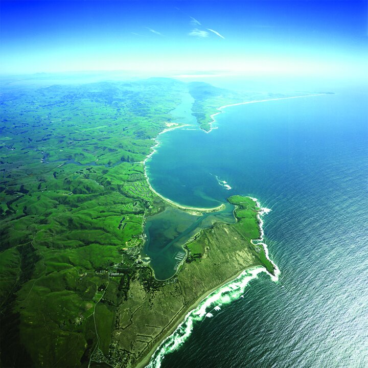
Custom Photography flown upon request, San Andreas Fault Line, Bodega and Tomales Bays, prints available
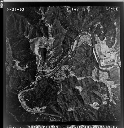
Historical Aerial Photography Available
Aerial Mapping
Photogrammetry, the practice of determining the geometric properties of objects from photographic images. Photogrammetry is as old as modern photography and can be dated to the mid-nineteenth century.
In the simplest example, the distance between two points that lie on a plane parallel to the photographic image plane can be determined by measuring their distance on the image, if the scale s of the image is known. This is done by multiplying the measured distance by 1/s.
A more sophisticated technique, called stereophotogrammetry, involves estimating the three-dimensional coordinates of points on an object. These are determined by measurements made in two or more photographic images taken from different positions (see stereoscopy). Common points are identified on each image. A line of sight (or ray) can be constructed from the camera location to the point on the object. It is the intersection of these rays (triangulation) that determines the three-dimensional location of the point. More sophisticated algorithms can exploit other information about the scene that is known a priori, for example symmetries, in some cases allowing reconstructions of 3D coordinates from only one camera position.
Photogrammetry is used in different fields, such as topographic mapping, architecture, engineering, manufacturing, quality control, police investigation, and geology, as well as by archaeologists to quickly produce plans of large or complex sites and by meteorologists as a way to determine the actual wind speed of a tornado where objective weather data cannot be obtained. It is also used to combine live action with computer-generated imagery in movie post-production; Fight Club is a good example of the use of photogrammetry in film (details are given in the DVD extras).
Algorithms for photogrammetry typically express the problem as that of minimizing the sum of the squares of a set of errors. This minimization is known as bundle adjustment and is often performed using the Levenberg–Marquardt algorithm.
Lidar
LIDAR (Light Detection And Ranging, also LADAR), an optical remote sensing technology that can measure the distance to, or other properties of a target by illuminating the target with light, often using pulses from a laser. LIDAR technology has application in Geomatics, archaeology, geography, geology, geomorphology, seismology, forestry, remote sensing and atmospheric physics. Also for 'airborne laser swath mapping' (ALSM), 'laser altimetry' and LIDAR Contour Mapping.